Rotmandlspitze: auf den Spuren der Bergknappen
moderate Hiking · Schladming
Gallery
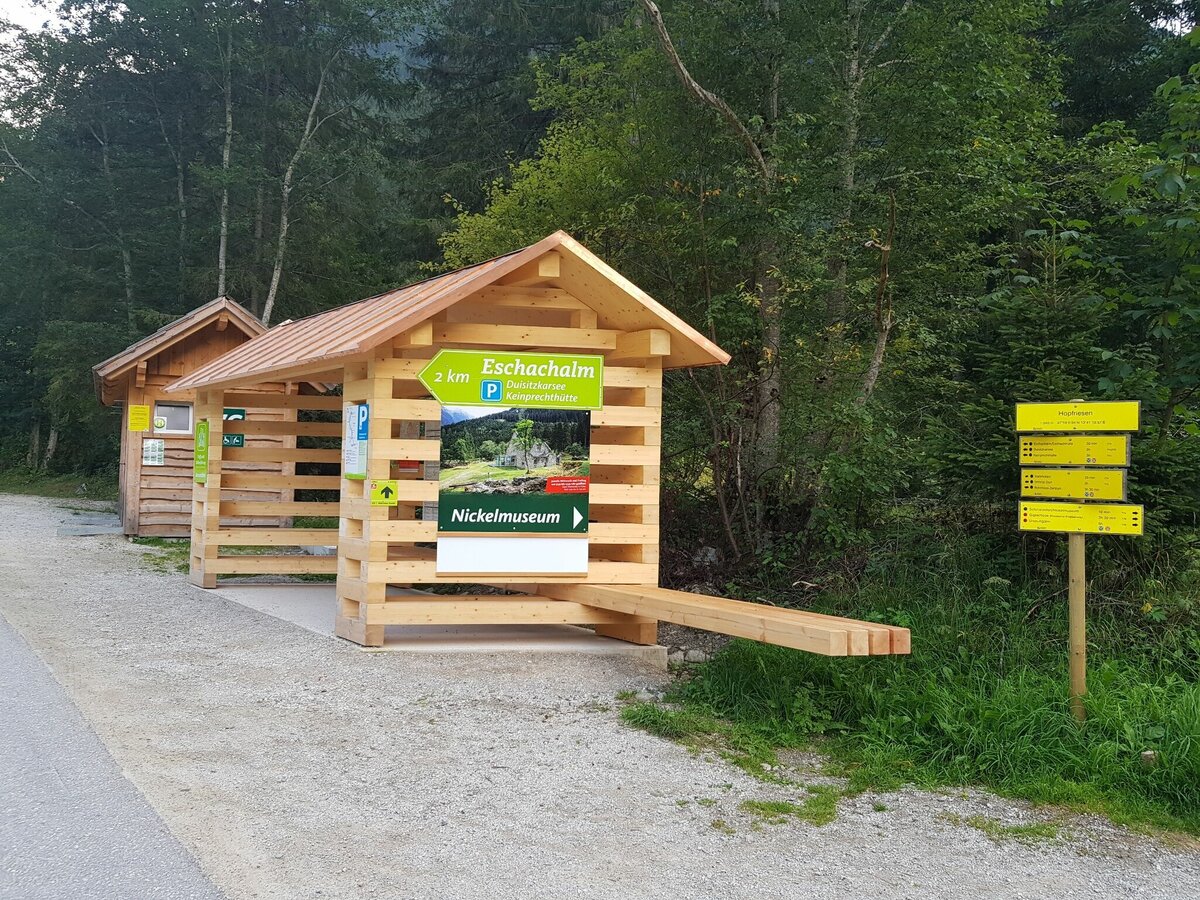

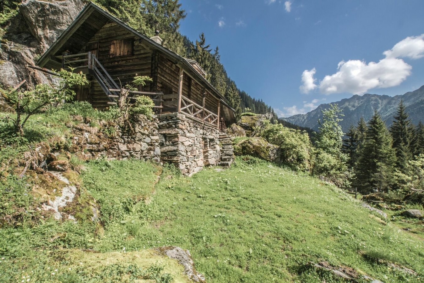


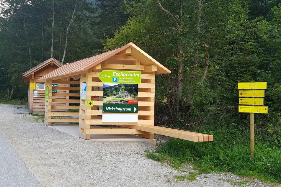
The trail head at Hopfriesen is reached best by bus n° 973 to Obertal valley. From the trail head you start out on trail n° 776 towards Giglachseen lakes. Right at the beginning a short detour (+ 5 minutes walking time) takes you to the only remaining Nickel smelting furnace of the Eastern Alps, which is a museum nowadays.
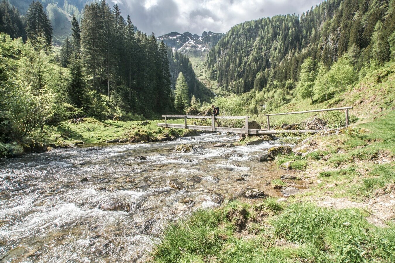
On trail n° 776 you then ascend through the forest. You traverse to the right below a big rock step and via a bridge cross over the Giglachbach creek. A couple of minutes more and you reach Lackneralm (no gastronomy). At Lackneralm you cross over Giglachbach creek again and then ascend further via a forestry road or the hiking trail respectively. Shortly before Landauersee lake you reach the Knappenkreuz waypoint (a wayside cross errected in memory of the mining at Giglach).
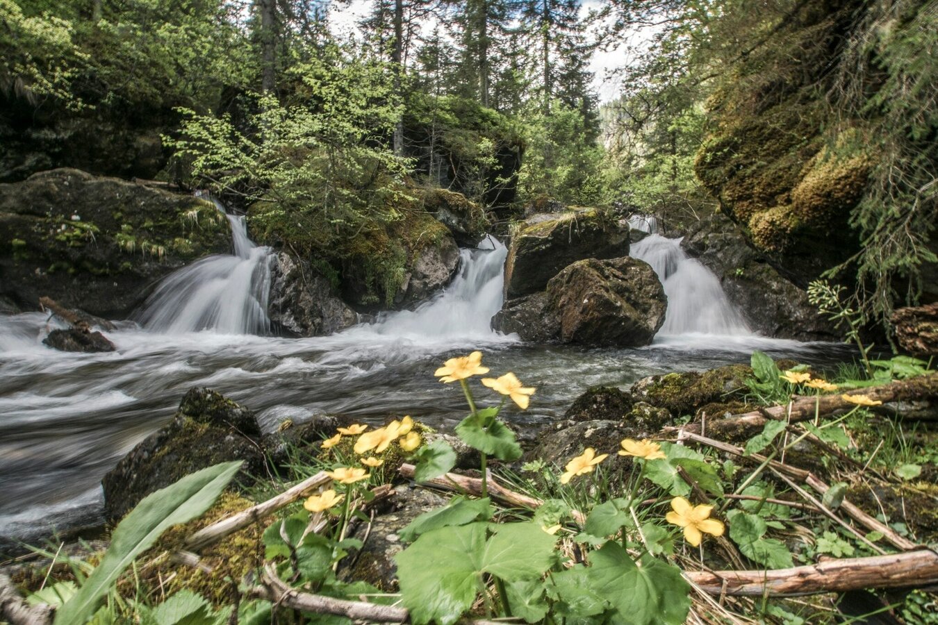
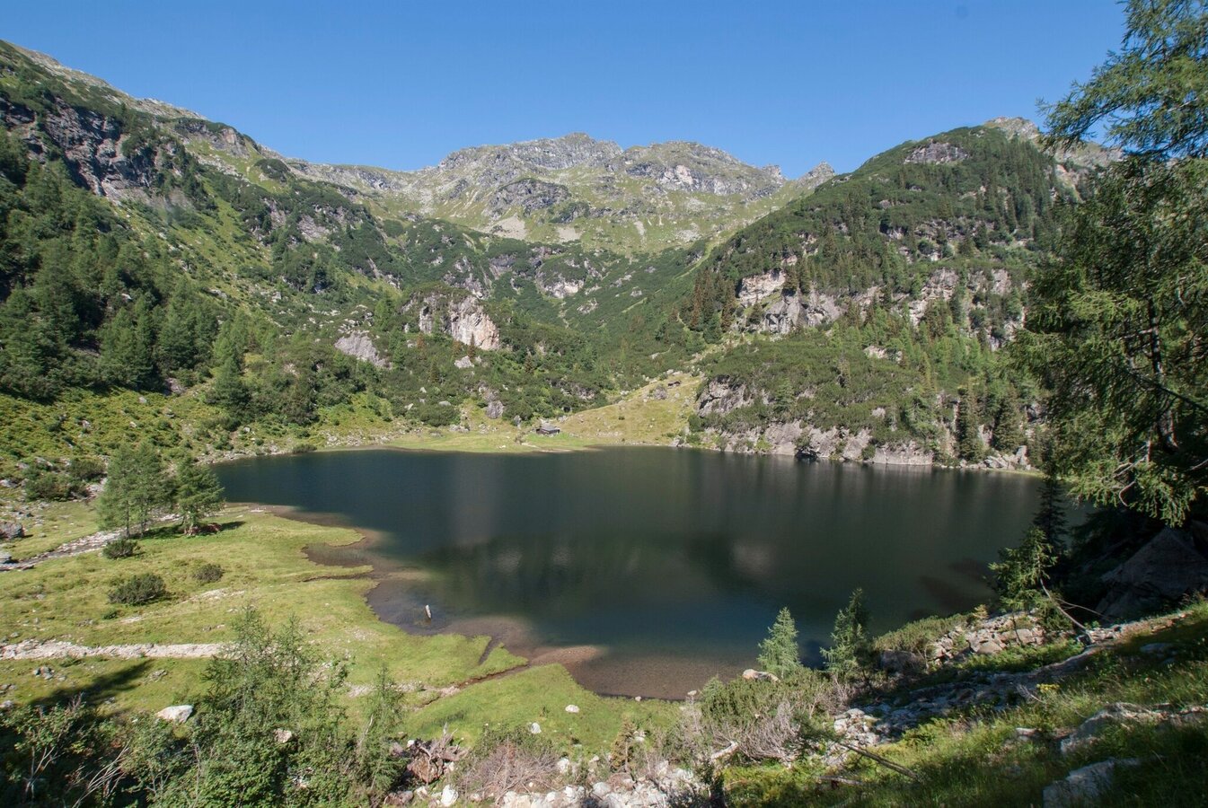
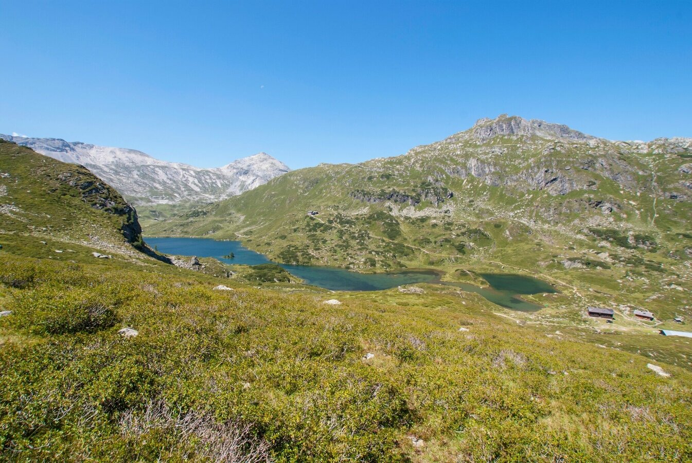
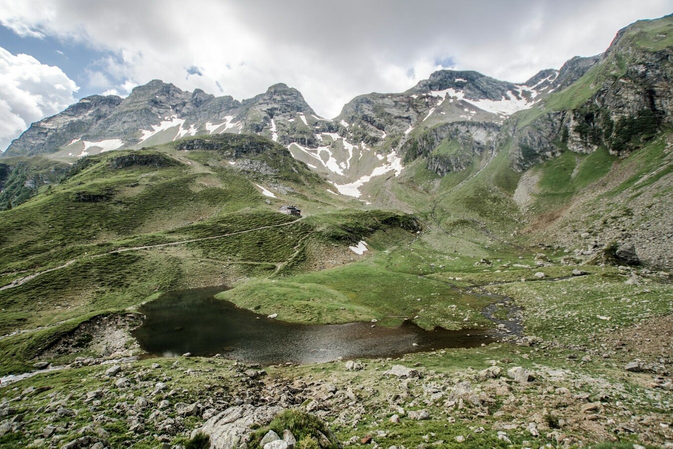
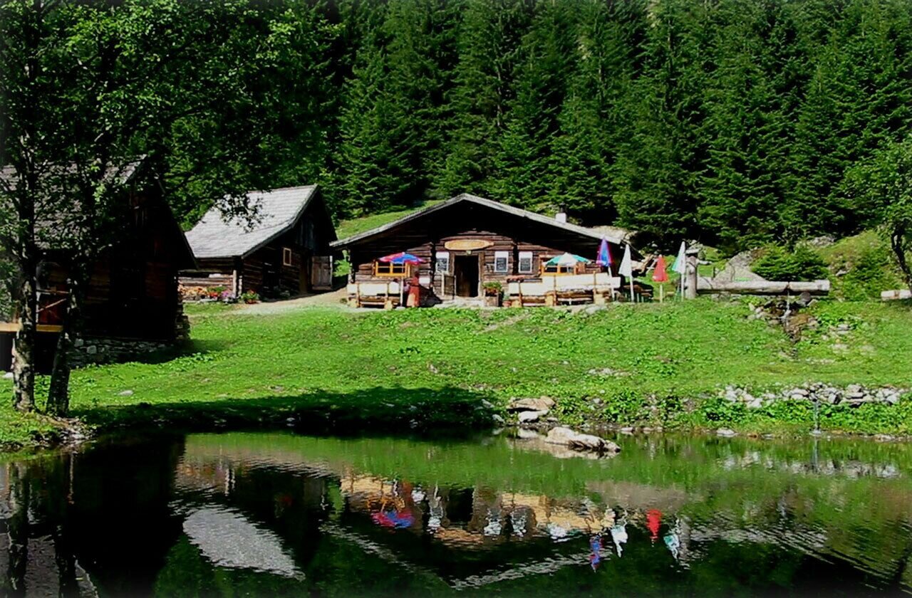
Along a broad trail you then reach the Giglachalmen, where the creek meanders beautifully among the alpine meadows. At the huts of Giglachalmen you cross over the creek, just until you reach the trail crossing with trail n° 775 (hiking trail towards Duisitzkarsee lake) and cross over again. After a few minutes you then reach the huts at the Northeast shore of the Untere Giglachsee lake.
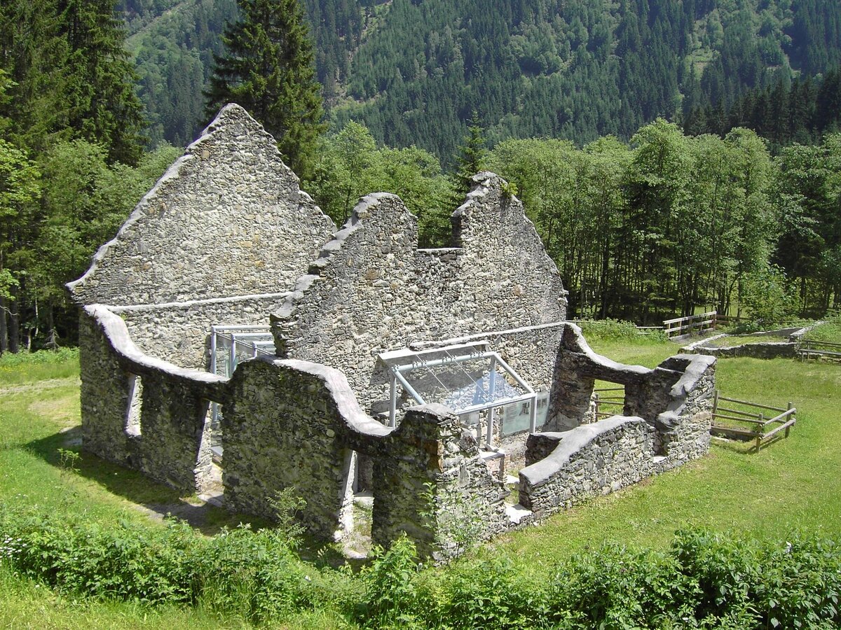
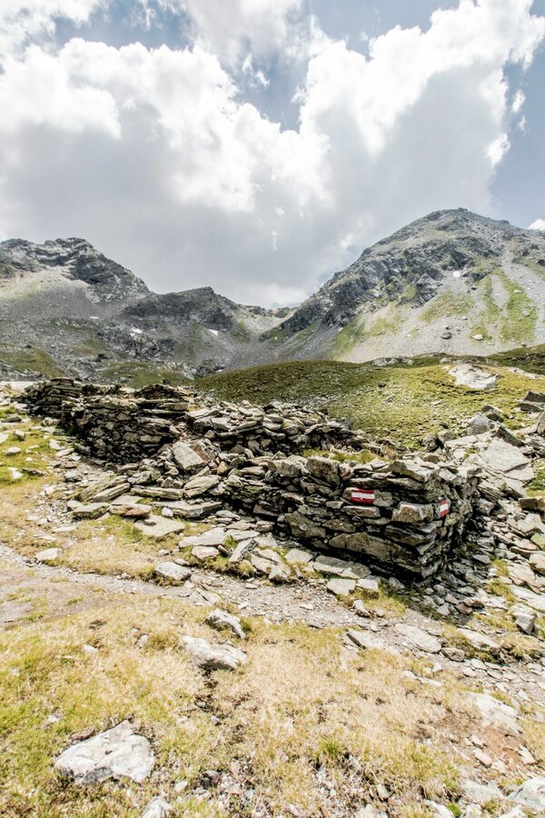
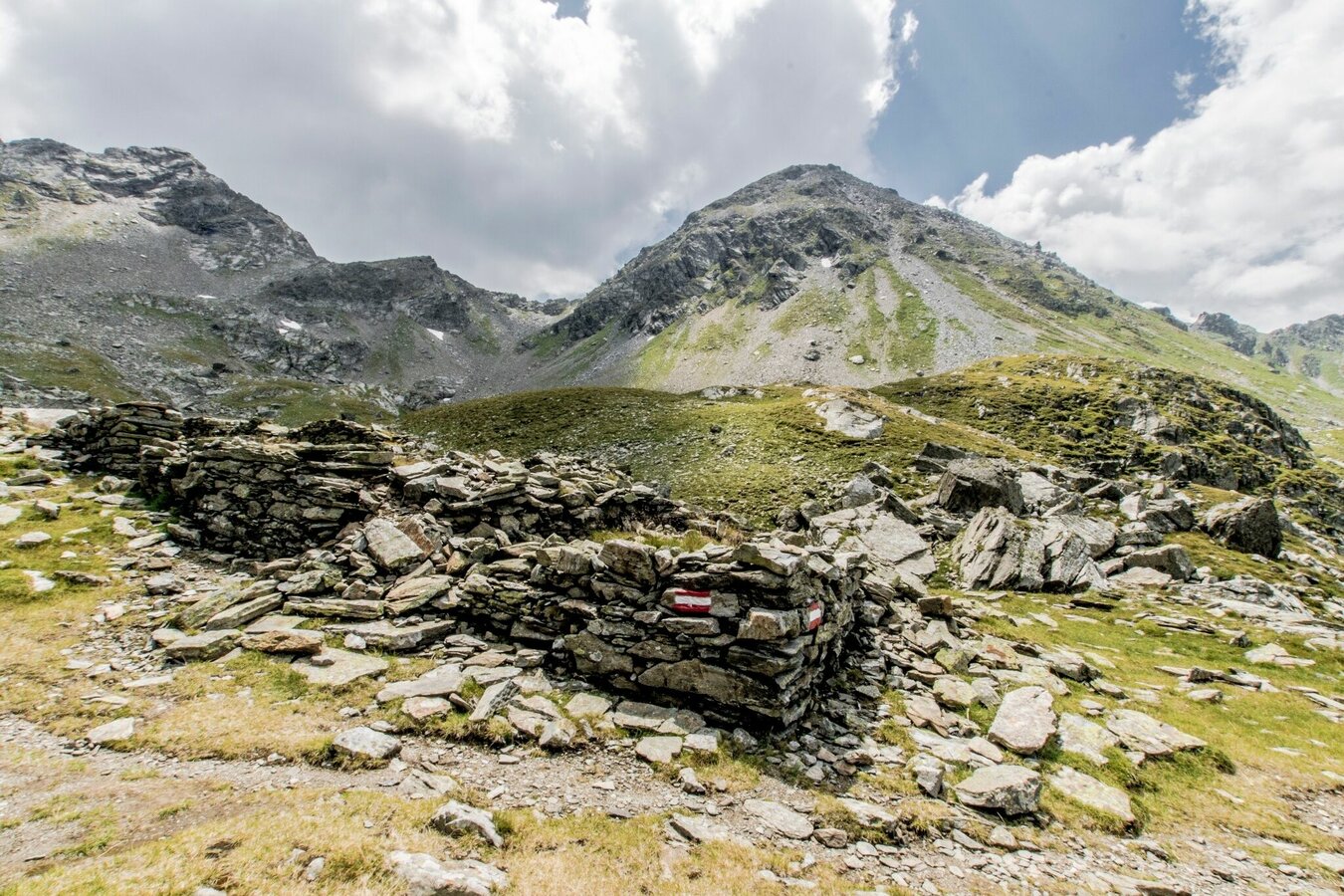
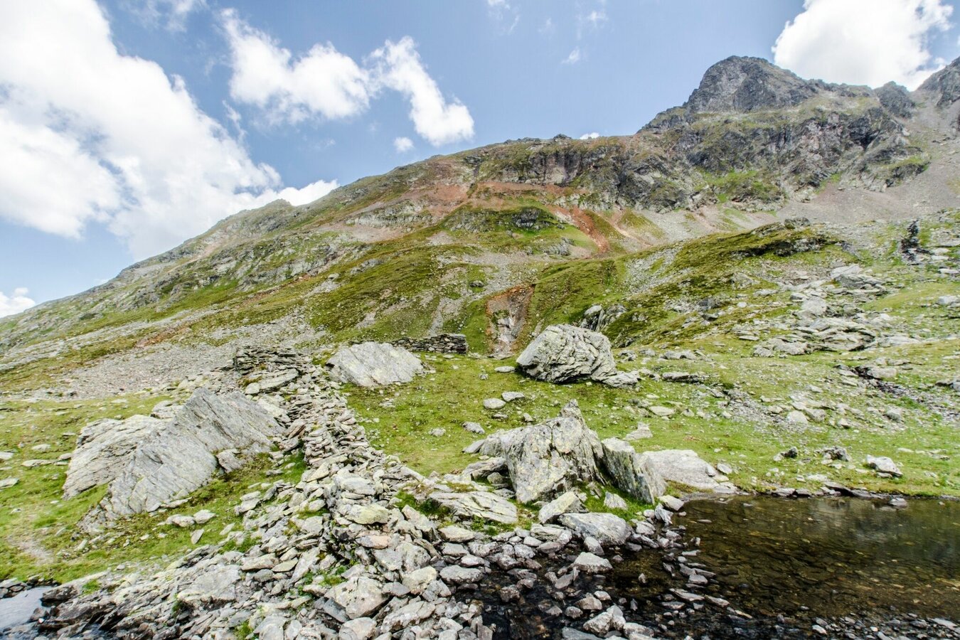
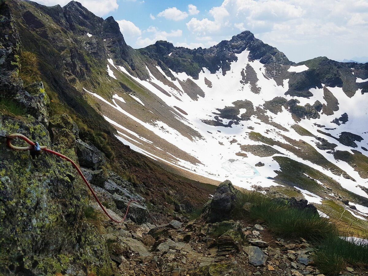
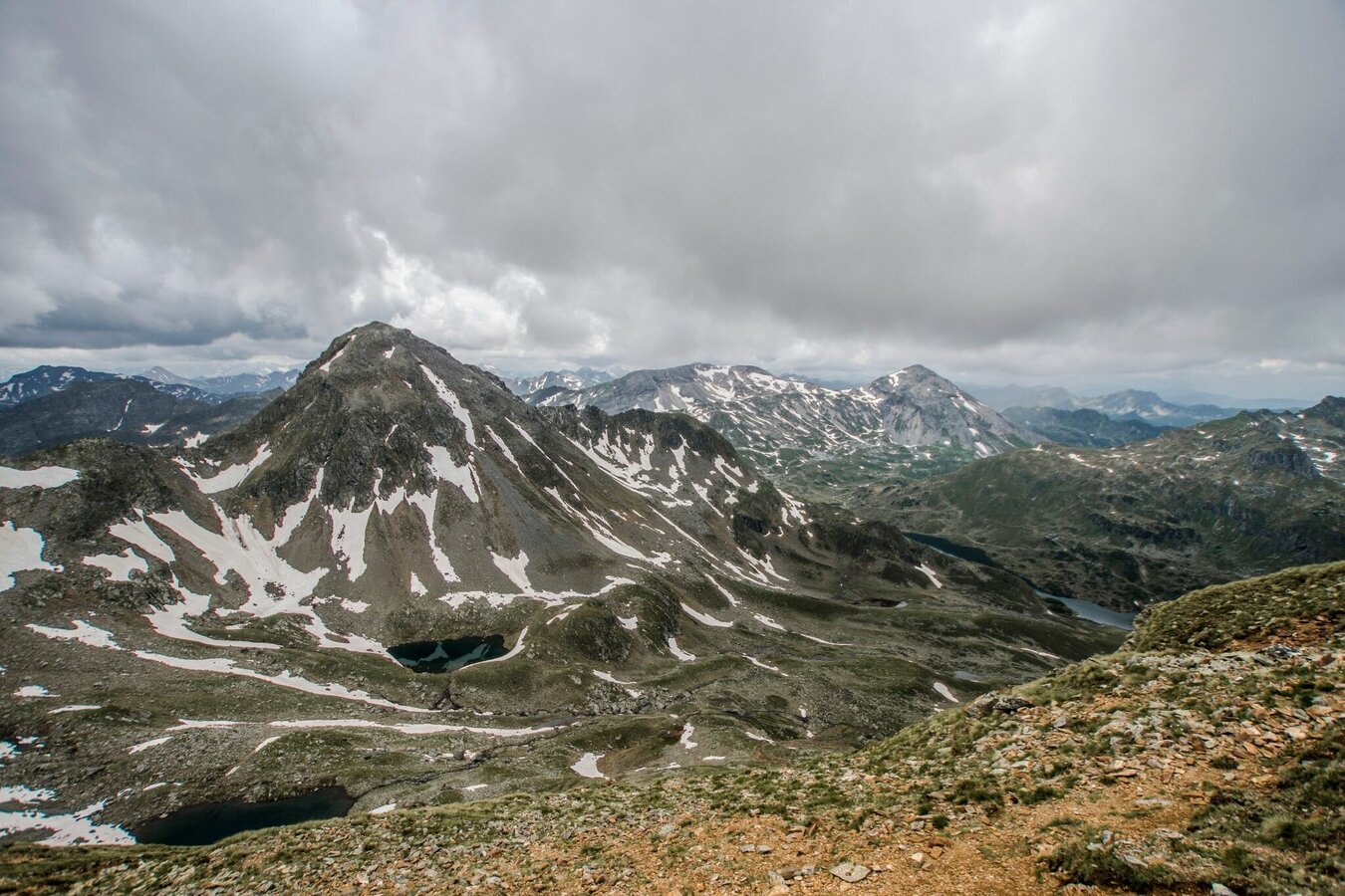
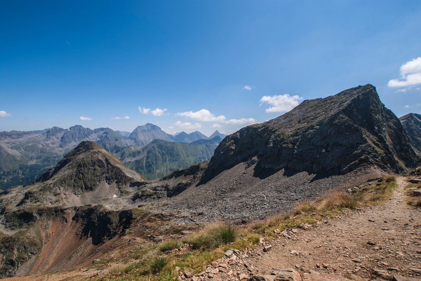
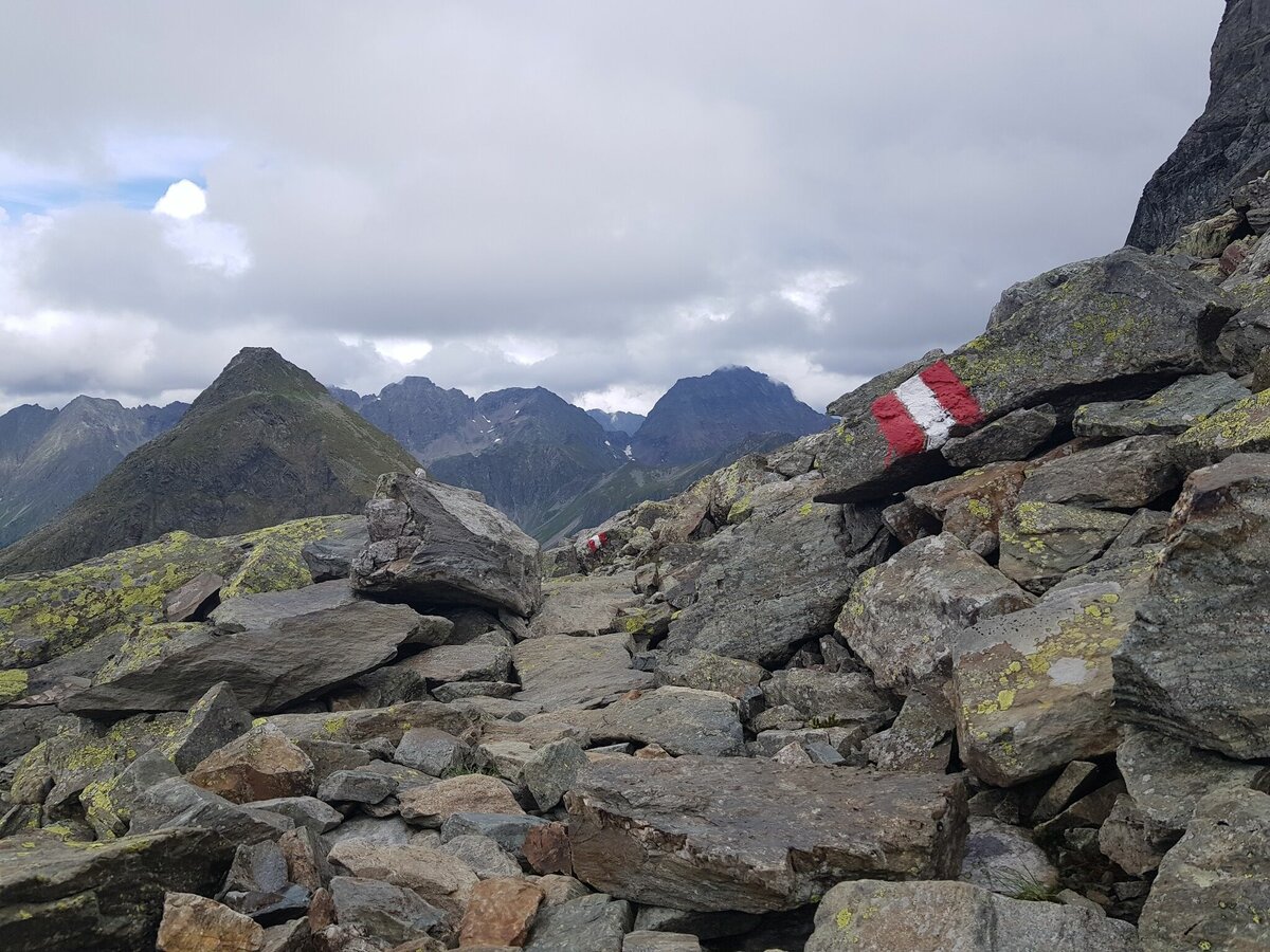
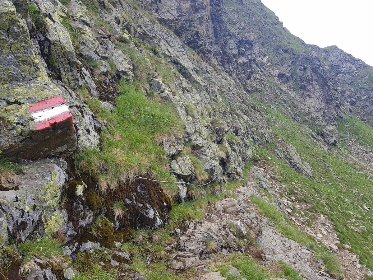
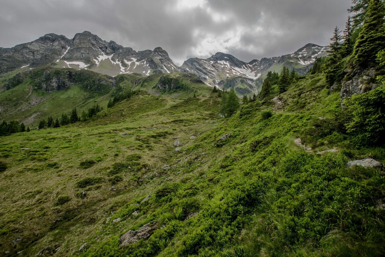
At the trail crossing there you now continue on trail n° 702 (Schladminger Tauern High Trail) and follow it into Vetternkar cirque and towards Rotmandlspitze. The trail ascends moderately to Vetternkar where you discover the historic remains of miners' houses. To the left of the ruins the trail now starts to ascend steeper and takes you to Rotmandlspitze via a set of switchbacks. From the highest point of the tour at 2,453 m above sea-level you then continue downhill via Rotmandlscharte ridge. Below the summit of Sauberg you then traverse to Kruckeckscharte ridge via a clearance cairn with large stones.
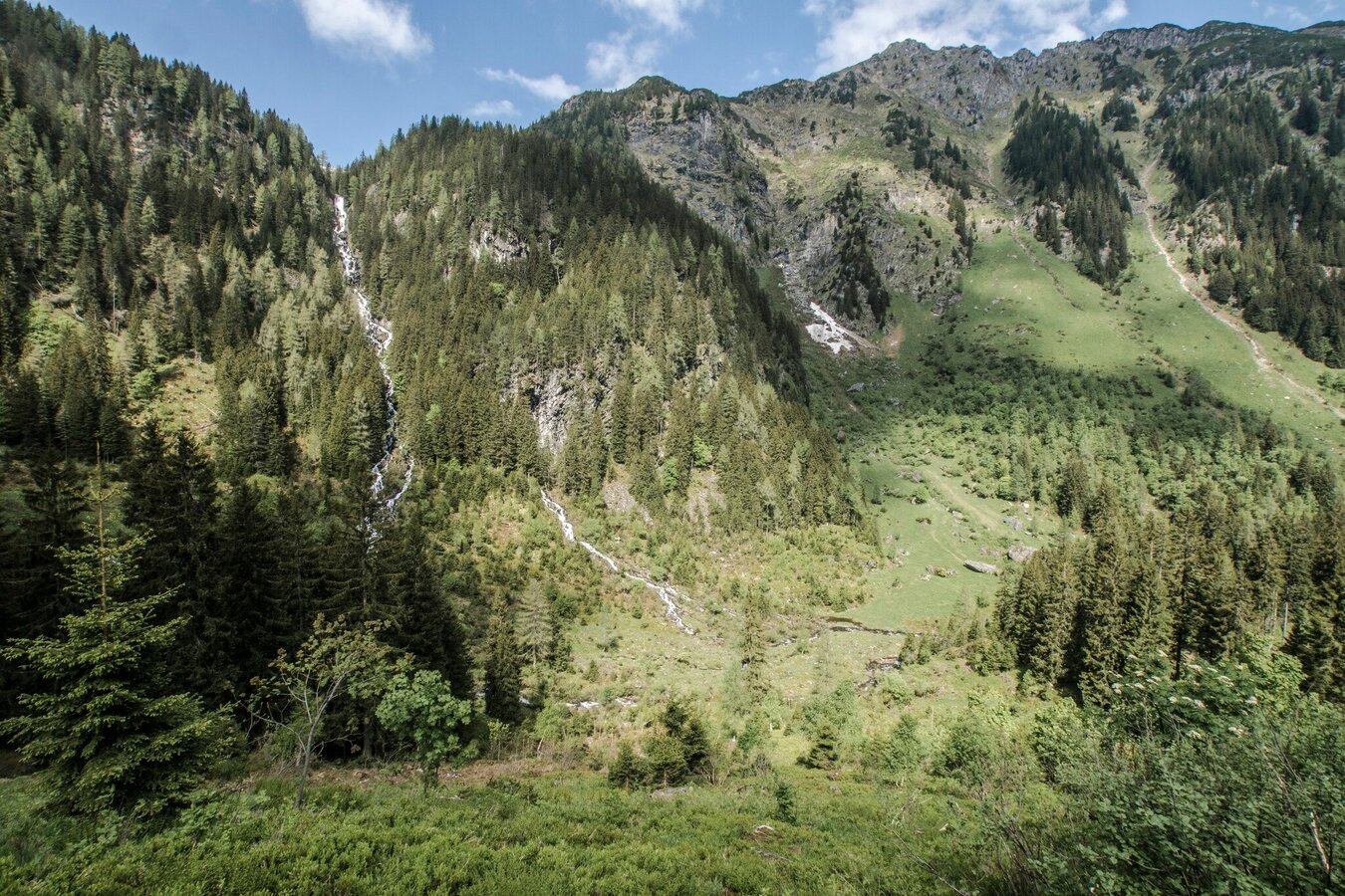
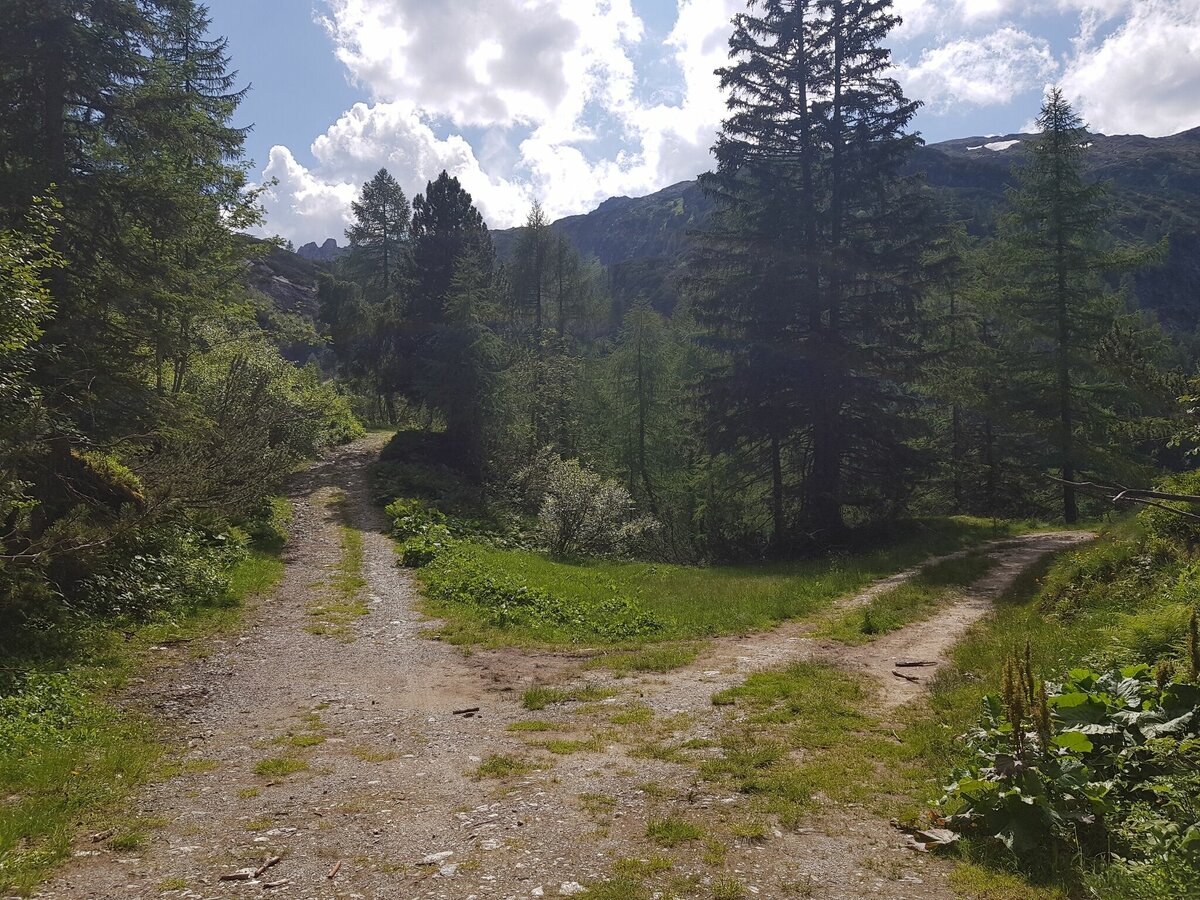
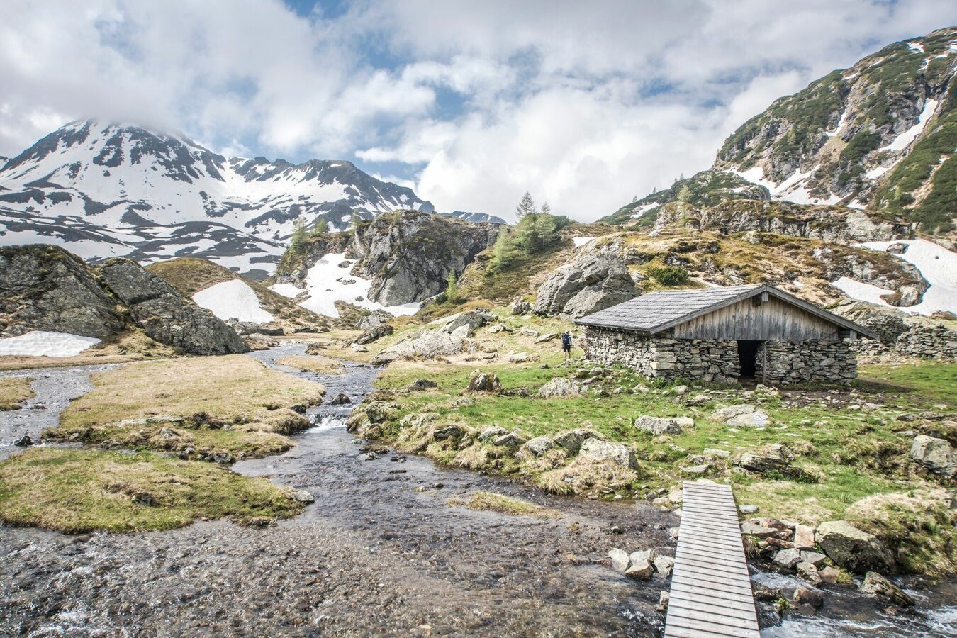
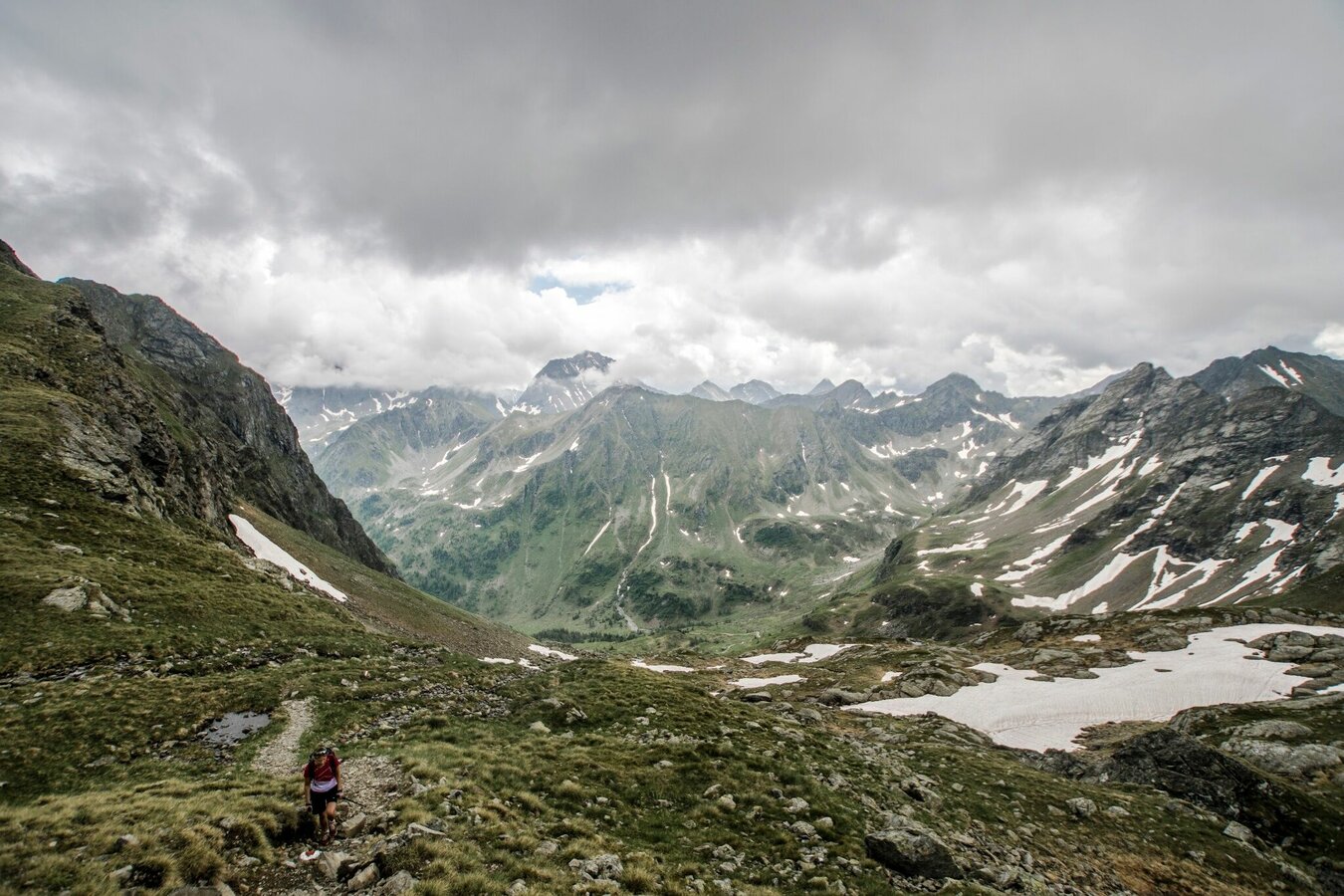
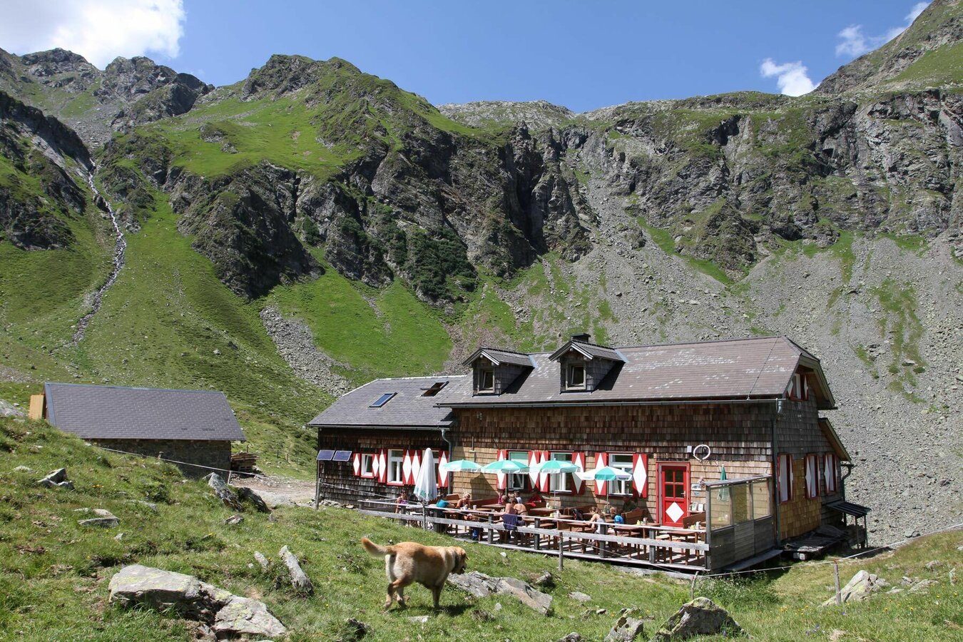
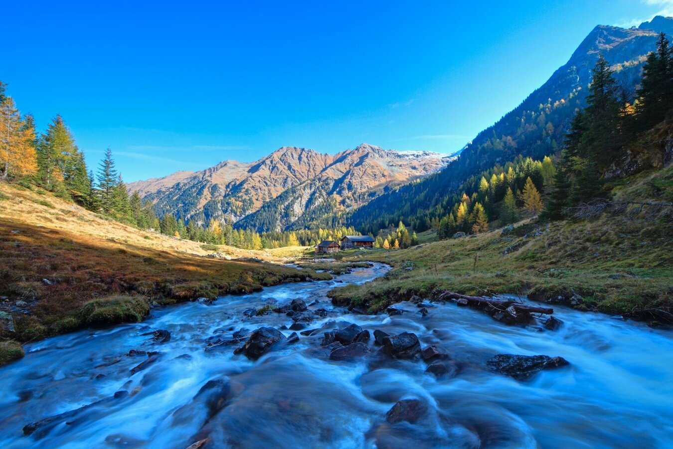
From the ridge a couple of wide switchbacks takes you down into Neualmkar cirque while you enjoy the outstanding view to the surrounding summits. Down in the cirque you reach Keinprechthütte, where you definitely earned a break. From the hut you descend to Obertal valley via trail n° 774. About halfway you pass by Neualm (no gastronomy) before you finally reach Eschachalm at the valley head of Obertal. From there, the bus takes you back to Rohrmoos and Schladming.
With the Planai buses from Schladming (Planet-Planai, Lendplatz) or Rohrmoos (Rohrmoos-Zentrum) to Obertal - bus stop Hopfriesen. With the buses of the same line (from bus stop "Eschachalm") back to Schladming and Rohrmoos.
- Buses of Planai-Hochwurzen-Bahnen: www.planaibus.at
Changes in weather patterns, quick falls in temperature, thunderstorms, wind, fog and snow are some of the dangers that can be encountered on a hiking tour. Hosts of alpine huts and mountain refuges have a lot of experience in the mountains and can give good advice about weather and the trails. Poor equipment, overestimation of one's own capabilities, carelessness, poor personal constitution and/or wrong judgement can lead to critical situations. In case of thunderstorms: avoid summits, ridges and steel ropes.
GPS data and orienteering
Available GPS data - just like hiking maps - is only a guidance for orientation and can never depict a trail exactly with all its details. Especially at dangerous spots it is essential to judge on site how to proceed.
In an emergency please call:
- 140 - for Alpine emergencies (all over Austria)
- 112 - European GSM emergency number
Visit the Nickelmuseum at Hopfriesen. Information about opening times at www.wildewasser.com
Also visit Schladming's town museum to extend your knowledge on the mining history: http://museum.schladming.at
Tourist information: www.schladming.com
Information about bus schedules: www.planaibus.at
360° drone images
Get yourself an overview with our 360° drone images:
- View over Giglachkar cirque: https://vonoben.schladming-dachstein.at/sommer/index.php?S=307
- Giglachseen and Kalkspitzen summits: https://vonoben.schladming-dachstein.at/sommer/index.php?S=308
- Lower Giglachsee Lake and Vetternkar cirque: https://vonoben.schladming-dachstein.at/sommer/index.php?S=309
- Via Rotmandlspitze: https://vonoben.schladming-dachstein.at/sommer/index.php?S=310
Tourist map "Hiking - Running - Walking", available at the tourist office Schladming.
Hiking map Schladming, 1:25.000, available at the tourist office Schladming.
Hiking map Schladming-Dachstein, 1:50.000, available at the tourist office Schladming.
Guide book Schladming-Dachstein by Herbert Raffalt, available at the tourist office Schladming (German only).


