Geological hiking trail Gumpeneck
gemiddeld gesloten Themed walks · Naturpark Sölktäler
The structure of the geological hiking trail with its 24 stations is divided into two parts:
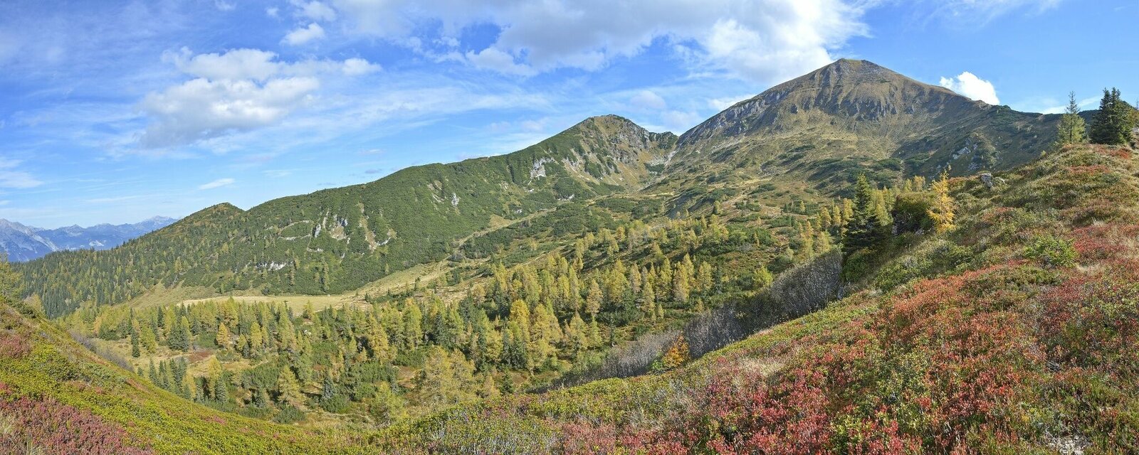
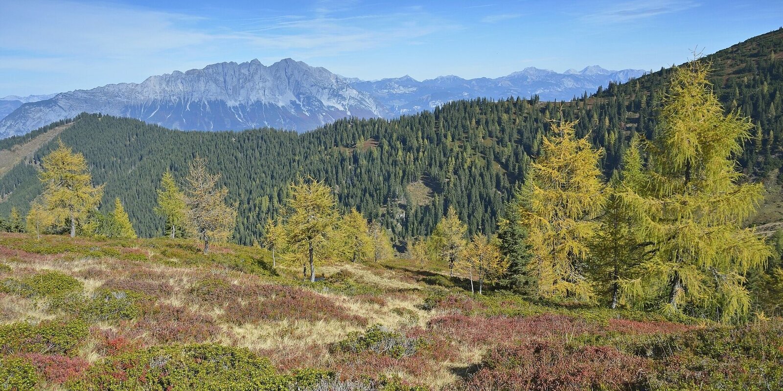
The first section (stations 1-14) leads from the Gumpenalm along the western edge of the Krrand and offers a magnificent view of the mountain landscape of the Sölktäler and Ennstal. It is the magnificent view that makes it possible to experience individual phases of the last 500 million years "live".
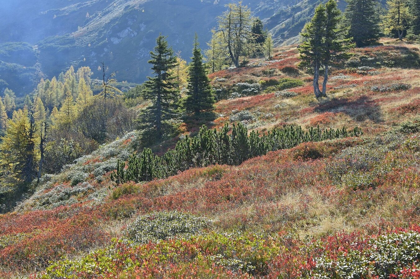
The second section (stations 15-24) runs through the interior of the Kars back to the Gumpenalm. The stations of this part of the route point to numerous characteristic terrain and geological features and show that geological processes are still taking place and are visible. - Geology lives"
Fotogalerij


Anmarsch bis zum Ausgangspunkt des Wanderweges:
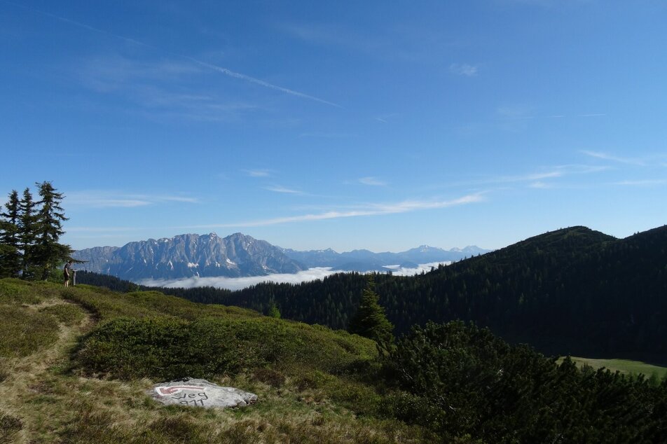
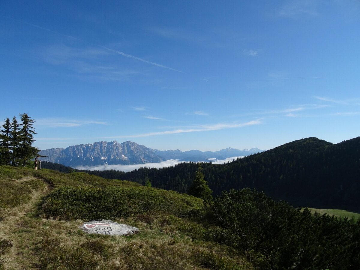
Vom Parkplatz Richtung Gumpeneck vorbei bei der "Schönwetterhütte" bis zur Gumpenalm (ca. 1,5 Stunden)Geologischer Rundwanderweg
Von der Gumpenalm dem Wanderweg zum Gumpeneck bis zur Station 14 folgen, danach nach links Richtung Gumpenkar abbiegen und wieder Richtung Gumpenalm wandern.
Mit dem Wanderführer "Zeitreise durch die Sölktäler" ist man bestens für die Wanderung vorbereitet und bekommt zusätzliche Infos zu allen Stationen.


